Tampa Tree Map
TampaTreeMap is a web-based map and database that enables everyone to map trees in the City of Tampa and on the campus of the University of South Florida.
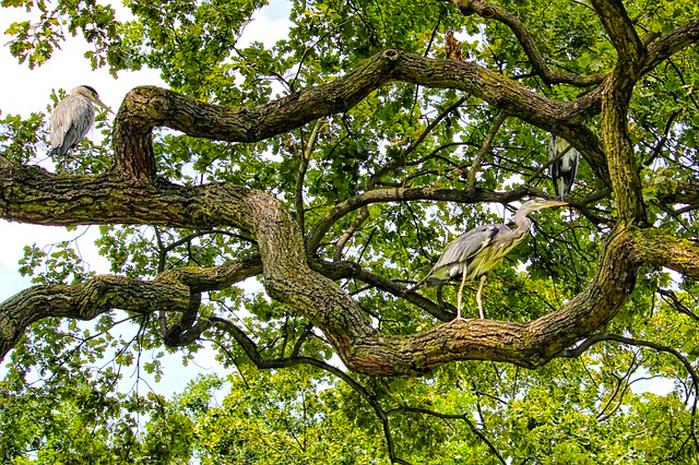
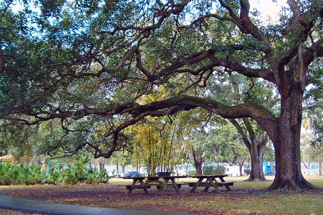
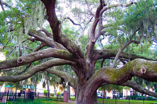
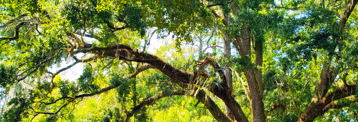
go to the mapThe sustainability of Florida’s urban and community trees and forests requires the participation of government, businesses, non-profits, volunteers and the general public.

TampaTreeMap is a web-based map and database that enables everyone to map trees in the City of Tampa and on the campus of the University of South Florida.
Along the way they calculate the environmental benefits the trees provide — how many gallons of storm-water they filter, how many pounds of air pollutants they capture, how many kilowatt-hours of energy they conserve, and how many tons of carbon dioxide they remove from the atmosphere.
The TampaTreeMap was developed by a partnership between the University of South Florida, City of Tampa, and UF-IFAS/ Hillsborough Extension Service. Funding was provided by the Florida Forest Services, Florida Department of Agriculture and Consumer Services (contract no. 19622), the City of Tampa and the University of South Florida.
Learn more >>
TampaTreeMap is a collaboration of government, nonprofits, businesses and you to build an inventory of Tampa's urban forest.
Click below to explore The Tampa Tree Map
Tampa tree map